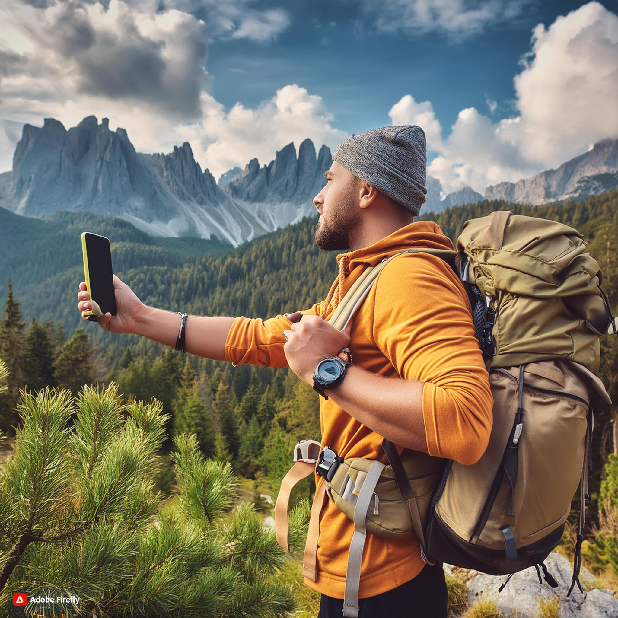
14 Best Free Hiking GPS App for Android 2024
Exploring the great outdoors is an exciting adventure, but it’s important to stay on the right track. Whether you’re an experienced hiker or just starting, having the best hiking GPS app for Android can make all the difference. In this guide, we’ll dive into the 14 best free hiking GPS app for Android to help you navigate with ease.
When planning a hiking adventure, having a reliable GPS app on your Android device is essential. Not only can these apps help you navigate through unfamiliar terrain, but they also provide features that enhance your overall hiking experience. In this guide, we’ll explore the 10 best free hiking GPS apps for Android, highlighting their features, pros, and cons. We’ll also answer some frequently asked questions to ensure you have all the information you need to make the best choice for your next hike.
1. Gaia GPS App: The All-Rounder
When it comes to hiking GPS app for Android, Gaia GPS is often the go-to choice for many outdoor enthusiasts. This app provides detailed topographic maps, satellite imagery, and downloadable offline maps.
Key Features:
- Access to a wide variety of map layers
- Download maps for offline use
- Record your hikes and share them with friends
Pros:
- Extensive map library including topographic, satellite, and road maps
- Ability to download maps for offline use
- Easy-to-use interface with intuitive controls
- Robust community support and resources
Cons:
- Free version has limited map layers
- Offline maps require storage space on your device
Why Gaia GPS?
Gaia GPS stands out for its comprehensive features that cater to both beginners and seasoned hikers. The app’s interface is intuitive, and it offers reliable navigation even in remote areas. Plus, it’s available for free with optional premium features.
2. AllTrails: Find New Trails
AllTrails is one of the most popular free hiking GPS app for Android, known for its extensive database of trails worldwide. Whether you’re hiking, biking, or backpacking, AllTrails has a trail for you.
Key Features:
- Over 100,000 trails with detailed reviews
- Download trail maps for offline use
- GPS tracking and live trail status
Pros:
- Comprehensive trail database with user-generated content
- Easy to use with clear trail descriptions and photos
- Social features allow sharing and following friends
Cons:
- Offline maps are only available in the premium version
- Some trails may have outdated information
Why AllTrails?
AllTrails is perfect for those looking to discover new trails. The app allows users to filter trails based on difficulty, length, and elevation, making it easier to find the perfect hike.
3. Komoot: Plan Your Adventure
Komoot is another excellent GPS app for hiking trails on Android, designed to make planning your outdoor adventures seamless. The app offers detailed route planning with turn-by-turn voice navigation.
Key Features:
- Offline maps for all regions
- Route planner with custom itineraries
- Voice navigation to keep you on track
Pros:
- User-friendly interface with detailed route planning
- Offline maps and voice-guided navigation
- Ability to connect with other outdoor enthusiasts
Cons:
- Some advanced features require a premium subscription
- Limited trail information compared to other apps
Why Komoot?
Komoot is ideal for those who like to plan their hikes meticulously. The app’s route planner is highly customizable, allowing you to tailor your hike based on your preferences.
4. ViewRanger: Explore with Confidence
ViewRanger is a versatile hiking GPS app for Android that provides topographic maps, 3D flyovers, and offline maps. It’s perfect for those who want to explore remote areas without worrying about losing their way.
Key Features:
- Topographic maps from various sources
- Offline maps for areas with no signal
- BuddyBeacon for location sharing
Pros:
- Extensive map library with topographic and aerial views
- Offline maps for areas without cell service
- Augmented reality feature enhances outdoor experience
Cons:
- Some map layers require in-app purchases
- Augmented reality feature may drain battery quickly
Why ViewRanger?
ViewRanger’s strength lies in its detailed topographic maps and offline capabilities. The BuddyBeacon feature is also a great addition for safety, allowing you to share your location with friends and family.
5. Hiking Project: Trail Database
Hiking Project is a comprehensive trail database that’s perfect for finding new hikes. It’s a free hiking GPS app for Android that provides detailed trail descriptions, photos, and GPS tracks.
Key Features:
- Over 74,000 miles of trails
- Offline maps and GPS tracking
- Trail reviews and photos from the community
Why Hiking Project?
Hiking Project is a community-driven app with user-generated content. It’s a great resource for finding lesser-known trails and getting real-time updates from other hikers.

6. Map My Hike: Track Your Progress
Map My Hike by Under Armour is an easy-to-use free GPS app for hiking trails. It allows you to track your hikes, monitor your performance, and share your achievements with friends.
Key Features:
- GPS tracking with detailed stats
- Connect with friends and join challenges
- Sync with wearable devices like Fitbit
Pros:
- Comprehensive tracking of hike data
- Integration with other fitness apps and devices
- User-friendly interface with easy navigation
Cons:
- Some features require a premium subscription
- Limited trail information compared to other apps
Why Map My Hike?
Map My Hike is great for those who enjoy tracking their hikes and competing with friends. The app’s integration with wearable devices makes it a versatile choice for fitness enthusiasts.
7. Cairn: Safety First
Cairn is a unique hiking GPS app for Android focused on safety. It provides trail recommendations and helps you stay connected by finding spots with cell coverage.
Key Features:
- Find cell coverage areas on trails
- Share your location with emergency contacts
- Download offline maps
Why Cairn?
Cairn is an essential app for solo hikers or those venturing into remote areas. The app’s focus on safety features, such as location sharing and cell coverage maps, makes it a must-have for cautious hikers.
8. Avenza Maps: Professional-Grade Maps
Avenza Maps offers high-quality maps for hikers, with a particular focus on topographic and government-issued maps. It’s a GPS app for hiking trails that allows you to use your phone as a powerful navigation tool.
Key Features:
- Access to over 1 million maps
- Offline GPS functionality
- Import custom maps
Why Avenza Maps?
Avenza Maps is perfect for those who need access to professional-grade maps. Whether you’re in a national park or exploring a new city, this app has a map for every occasion.
9. Outdooractive: Europe’s Best Trails
Outdooractive is a popular GPS app for hiking trails in Europe, offering detailed maps and route planning tools. The app is expanding its database to include trails worldwide.
Key Features:
- Offline maps and route planning
- GPS tracking with real-time updates
- Integration with Google Earth for 3D views
Pros:
- Comprehensive trail database with offline capabilities
- User-friendly interface with customizable features
- Community-driven content with reviews and photos
Cons:
- Some features require a premium subscription
- Limited trail information in less popular areas
Why Outdooractive?
Outdooractive is ideal for hikers in Europe or those planning to explore European trails. The app’s detailed maps and planning tools are perfect for both short hikes and long-distance treks.
10. Gaia GPS Lite: The Free Version
If you’re not ready to commit to the full Gaia GPS experience, Gaia GPS Lite is a great alternative. This free hiking GPS app for Android offers many of the same features as the paid version, with some limitations.
Key Features:
- Access to basic map layers
- Offline maps for selected regions
- GPS tracking and trip planning
Why Gaia GPS Lite?
Gaia GPS Lite is a great way to test the waters before upgrading to the premium version. It’s a solid choice for hikers who need basic navigation tools without any cost.
11. Locus Map: A Comprehensive Navigation Tool
Locus Map is a versatile hiking GPS app for Android that offers both free and premium features. The free version provides access to basic maps and GPS tracking, while the premium version unlocks more advanced features such as offline maps, route planning, and detailed elevation profiles. Locus Map also integrates with various mapping platforms, ensuring that you always have access to accurate and up-to-date maps.
Key Features:
- Basic maps and GPS tracking for free
- Offline maps and route planning
- Detailed elevation profiles
- Integration with mapping platforms
Pros:
- Extensive map library with offline access
- Customizable route planning and navigation
- Frequent updates with new features
Cons:
- Some features require a premium subscription
- User interface can be complex for beginners
Why Locus Map is Worth Downloading: Locus Map’s versatility makes it suitable for both casual hikers and seasoned adventurers. The app’s integration with various mapping platforms ensures that you always have access to reliable maps.
12. BackCountry Navigator: Explore the Wilderness
BackCountry Navigator is a powerful free hiking GPS app for Android that offers a wide range of features for outdoor enthusiasts. The app provides access to topographic maps, GPS tracking, and route planning, making it an excellent tool for exploring remote areas. BackCountry Navigator also allows you to download maps for offline use, ensuring that you have access to reliable navigation even in areas without cellular coverage.
Key Features:
- Access to topographic maps
- GPS tracking and route planning
- Offline maps available
- Customizable map layers
Pros:
- Extensive map library with topographic views
- Offline capabilities for remote hiking areas
- Advanced navigation features for experienced hikers
Cons:
- Some maps require in-app purchases
- User interface can be complex for beginners
Why BackCountry Navigator is a Top Pick: BackCountry Navigator’s focus on topographic maps and offline capabilities makes it a reliable choice for hikers who venture into the wilderness. The app’s customizable map layers allow you to tailor the maps to your specific needs.

13. OsmAnd: Offline Maps and Navigation
OsmAnd is a feature-rich free hiking GPS app for Android that offers offline maps and navigation. The app is based on OpenStreetMap data and provides detailed maps that can be downloaded for offline use. OsmAnd also offers features such as route planning, GPS tracking, and customizable map layers, making it a versatile tool for hikers.
Key Features:
- Offline maps based on OpenStreetMap
- GPS tracking and route planning
- Customizable map layers
- Voice-guided navigation
Pros:
- Open-source and customizable with various plugins
- Offline capabilities with detailed maps
- Frequent updates and community support
Cons:
- User interface may be challenging for beginners
- Some features require in-app purchases
Why OsmAnd is a Reliable Choice: OsmAnd’s offline capabilities make it an excellent choice for hikers who venture into remote areas with limited cellular coverage. The app’s customizable map layers allow you to tailor the maps to your specific needs.
14. Maps.me
Maps.me is a free hiking GPS app for Android that offers offline maps and navigation, making it a popular choice for travelers and hikers alike. With its simple interface and reliable offline capabilities, it’s a great tool for both casual and serious hikers.
Key Features:
- Offline maps with detailed topographic information
- GPS tracking with route planning and navigation
- Integration with travel guides and points of interest
- Regular updates with new map data
Pros:
- Completely free with offline capabilities
- Simple and user-friendly interface
- Regular updates ensure up-to-date maps
Cons:
- Limited advanced features compared to other apps
- Some areas may have less detailed map information
Why Maps.me? If you’re looking for a free hiking GPS app for Android with reliable offline capabilities, Maps.me is a great option. Its simplicity and ease of use make it a favorite among hikers and travelers who need basic navigation tools.
1. Introduction to GPS Technology in Hiking
The Importance of GPS in Hiking
GPS technology has revolutionized the way hikers navigate trails. Unlike traditional methods of navigation, such as maps and compasses, GPS provides real-time positioning, allowing hikers to know their exact location at all times. This technology enhances safety, helps in planning routes more effectively, and offers peace of mind, especially when exploring unfamiliar or remote areas.
How GPS Apps Differ from Traditional Maps
While paper maps require manual navigation skills, GPS apps offer a more dynamic and interactive experience. They allow for real-time tracking, route planning, and even provide alerts if you stray off the trail. Additionally, GPS apps can store a large number of trails and points of interest, making it easier to explore multiple locations without carrying bulky maps.
2. Criteria for Choosing the Best Hiking GPS Apps
Accuracy
One of the most critical features of a GPS app is its accuracy. The app should provide precise location data to ensure you stay on the trail and avoid getting lost. Look for apps that utilize high-quality map data and offer frequent updates to maintain accuracy.
Offline Maps Availability
Since many hiking trails are in remote areas with little to no cell coverage, having offline maps is essential. A good hiking GPS app should allow you to download maps for offline use, ensuring you can navigate even when you’re off the grid.
User Interface and Ease of Use
The app’s interface should be intuitive and easy to navigate, even for beginners. A cluttered or complicated UI can be frustrating, especially when you need to access information quickly on the trail. Look for apps that offer clear, concise instructions and easy-to-read maps.
Battery Efficiency
Hiking can be a long activity, and GPS apps are known for consuming significant battery power. The best GPS apps are optimized for battery efficiency, allowing you to use them for extended periods without draining your phone’s battery too quickly. Consider apps that offer power-saving modes or that can function effectively even with limited use of GPS.
Additional Features
Some GPS apps come with additional features that can enhance your hiking experience. These might include weather updates, social sharing options, trail difficulty ratings, or the ability to record and share your hikes. Consider what features are important to you and look for apps that offer them.

FAQs about Hiking GPS App
What is the best hiking GPS app for Android?
The best hiking GPS app for Android depends on your needs. Gaia GPS and AllTrails are popular choices due to their extensive features and offline capabilities.
Can I use my phone GPS for hiking?
Yes, your phone’s GPS can be used for hiking. However, it’s important to download offline maps and carry a power bank to ensure you don’t run out of battery.
What is the best free app for hiking?
AllTrails and Komoot are some of the best free apps for hiking. Both offer extensive trail databases and GPS tracking features.
Can Google Maps be used for hiking?
Google Maps can be used for hiking, but it’s not as reliable as dedicated hiking apps. It’s better suited for city navigation and driving directions.
How do you create a hiking route on Google Maps?
To create a hiking route on Google Maps, use the “Your Places” feature to save a location, then select the walking option and drag the route to customize it.
Conclusion
Choosing the right hiking GPS app for Android can greatly enhance your outdoor adventures. Whether you’re looking for detailed maps, offline capabilities, or safety features, the apps listed above offer a range of options to suit your needs. By using one of these top 10 free hiking GPS app, you can explore the great outdoors with confidence, knowing that you have reliable navigation at your fingertips.
