Nestled within the breathtaking landscapes of Oregon, the Ramona Falls hike is a popular destination for nature lovers and adventure seekers alike. This enchanting trail offers a perfect blend of scenic beauty, moderate challenge, and the opportunity to experience one of the most picturesque waterfalls in the region. Whether you’re a seasoned hiker or a casual explorer, the Ramona Falls hike promises an unforgettable experience.
Introduction to Ramona Falls Hike
The Ramona Falls hike is located in the Mount Hood National Forest, approximately 57 miles east of Portland, Oregon. This trail is renowned for its captivating waterfall, lush greenery, and tranquil atmosphere, making it a must-visit for anyone looking to immerse themselves in nature.
Key Points:
- Length: 7.1 miles round trip
- Elevation Gain: 1,065 feet
- Difficulty: Moderate
- Best Time to Visit: Late spring to early fall
Why Choose the Ramona Falls Hike?
There are countless hiking trails in Oregon, but the Ramona Falls hike stands out for several reasons. First, the trail offers a moderate challenge, making it accessible to a wide range of hikers. The trail’s gradual ascent, coupled with its well-maintained path, ensures that even those with moderate fitness levels can enjoy the hike.
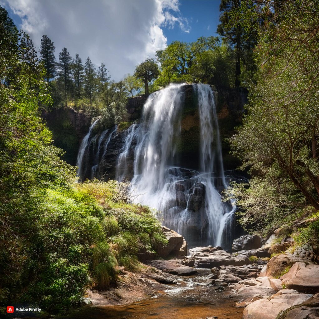
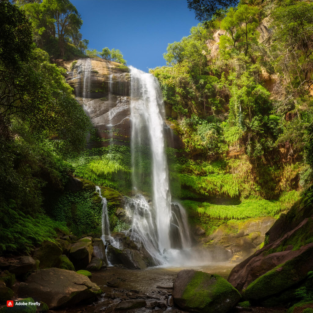
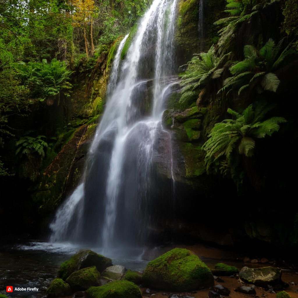
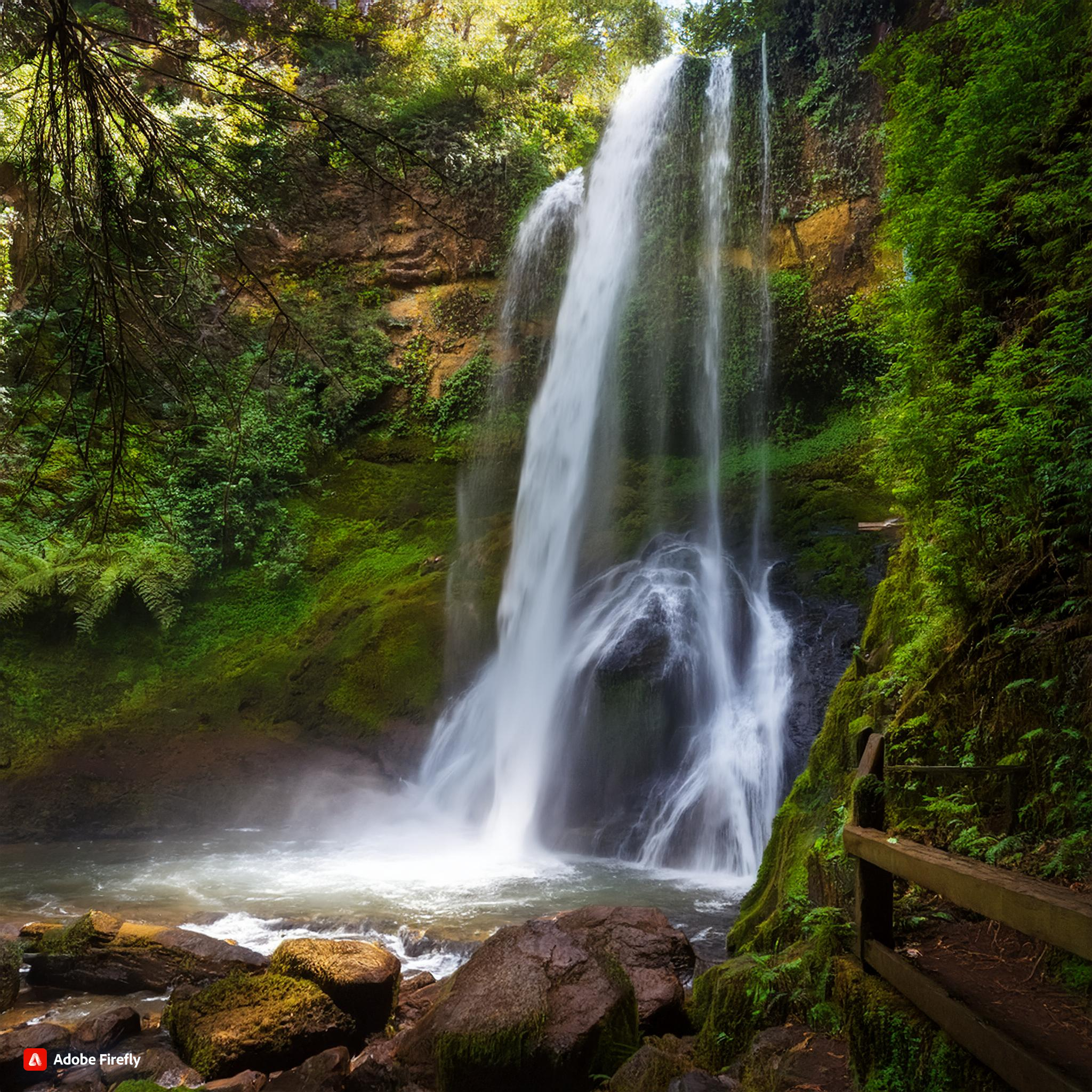
Moreover, the hike provides a unique opportunity to witness the beauty of Ramona Falls, a stunning waterfall that cascades gracefully over a moss-covered cliff. The waterfall, combined with the serene forest setting, creates an atmosphere of tranquility that is hard to find elsewhere.

Planning Your Ramona Falls Hike
Before embarking on the Ramona Falls hike, it’s essential to plan your trip carefully. This includes understanding the trail conditions, obtaining the necessary permits, and packing the right gear.
Trail Conditions:
The Ramona Falls hike trail conditions can vary depending on the time of year. In late spring and early summer, the trail is usually in good condition, with minimal mud and obstacles. However, during the wet season, the trail can become muddy and slippery, making it more challenging to navigate.
It’s important to check the trail conditions before your hike to ensure a safe and enjoyable experience. The Mount Hood National Forest website provides up-to-date information on trail conditions and closures.
Permits:
To hike the Ramona Falls trail, you will need a Northwest Forest Pass or an America the Beautiful Pass. These permits can be purchased online or at various locations near the trailhead. Be sure to display your permit on your vehicle’s dashboard to avoid any fines.
What to Pack:
When preparing for the Ramona Falls hike, it’s important to pack appropriately. Here are some essential items to bring:
- Water: At least 2 liters per person
- Snacks: High-energy snacks like trail mix or energy bars
- Hiking Boots: Sturdy, waterproof boots with good traction
- Rain Gear: A lightweight rain jacket in case of unexpected showers
- Map: A Ramona Falls hike map or GPS device
- First Aid Kit: Basic first aid supplies for emergencies
- Layers: Clothing that can be easily layered to adjust for changing weather conditions
Ramona Falls Hike Distance and Elevation Gain
Understanding the distance and elevation gain is crucial when planning your Ramona Falls hike. The trail is approximately 7.1 miles round trip, with an elevation gain of 1,065 feet. This makes the hike moderately challenging, with a steady ascent that is manageable for most hikers.
Distance:
The Ramona Falls hike distance is divided into two main sections. The first part of the trail is relatively flat and follows the Sandy River, offering beautiful views of the surrounding forest. The second part of the trail involves a gradual ascent through a lush, green forest, eventually leading to the waterfall.
Elevation Gain:
The elevation gain on the Ramona Falls hike is gradual, with most of the ascent occurring in the second half of the trail. The highest point of the hike is at the base of the waterfall, where you can enjoy the stunning view and take a well-deserved break.

Navigating the Ramona Falls Hike Trail
Navigating the Ramona Falls hike trail is relatively straightforward, but it’s important to be aware of a few key points to ensure a smooth journey.
Trailhead:
The trailhead for the Ramona Falls hike is located at the end of Forest Road 1825. There is a parking lot available, but it can fill up quickly, especially on weekends. Arriving early is recommended to secure a spot.
Crossing the Sandy River:
One of the most notable features of the Ramona Falls hike is the crossing of the Sandy River. The river crossing can be challenging, especially during high water levels. There is usually a log bridge in place, but it can be slippery and unstable. Take your time and use caution when crossing the river.
Trail Markings:
The Ramona Falls hike trail is well-marked, with signs and trail markers along the way. However, it’s always a good idea to bring a Ramona Falls hike map or GPS device to ensure you stay on the correct path.
Experiencing the Beauty of Ramona Falls
Reaching Ramona Falls is the highlight of the hike, and it’s a moment that you’ll likely remember for years to come. The waterfall is approximately 120 feet tall and fans out in a delicate, veil-like pattern over the basalt rock. The sight of the waterfall, surrounded by lush greenery, is nothing short of magical.
Taking Photos:
Ramona Falls is a popular spot for photography, so be sure to bring your camera or smartphone to capture the beauty of the waterfall. The best time for photos is in the early morning or late afternoon when the lighting is softer and more diffused.
Picnic Spot:
The area around Ramona Falls is also a great spot for a picnic. There are several large rocks and fallen logs where you can sit and enjoy a meal while taking in the view. Remember to pack out all trash to keep the area clean and pristine.
Ramona Falls hike
Ramona Falls Hike Directions
Getting to the Ramona Falls hike trailhead is relatively easy, but it’s important to have clear directions to ensure you don’t get lost along the way.
From Portland:
- Take US-26 E toward Mount Hood.
- After approximately 42 miles, turn left onto Lolo Pass Road.
- Continue on Lolo Pass Road for about 4 miles, then turn right onto Forest Road 1825.
- Follow Forest Road 1825 for 2 miles to the parking lot at the trailhead.
From Hood River:
- Take OR-35 S toward Mount Hood.
- After about 25 miles, turn right onto US-26 W.
- Continue on US-26 W for approximately 7 miles, then turn right onto Lolo Pass Road.
- Follow Lolo Pass Road for 4 miles, then turn right onto Forest Road 1825.
- Continue on Forest Road 1825 for 2 miles to the parking lot at the trailhead.
Ramona Falls hike directions
Ramona Falls Hike Trail Conditions and Safety Tips
While the Ramona Falls hike is generally safe and well-maintained, it’s important to be aware of the trail conditions and follow safety tips to ensure a successful hike.
Seasonal Conditions:
The best time to hike to Ramona Falls is from late spring to early fall when the trail conditions are most favorable. During this time, the trail is usually dry and well-maintained, with minimal obstacles. However, in the winter and early spring, the trail can be covered in snow and ice, making it more difficult to navigate.
Wildlife:
The Mount Hood National Forest is home to various wildlife, including black bears, elk, and deer. While encounters are rare, it’s important to be prepared. Make noise while hiking to avoid surprising animals, and carry bear spray as a precaution.
Safety Tips:
- Stay on the Trail: To protect the environment and reduce the risk of getting lost, always stay on the designated trail.
- Hike with a Buddy: If possible, hike with a partner or group for added safety.
- Check Weather Conditions: Before heading out, check the weather forecast to avoid hiking in severe weather conditions.
- Leave No Trace: Follow Leave No Trace principles by packing out all trash and minimizing your impact on the environment.
Ramona Falls hike Trail conditions

Frequently Asked Questions About the Ramona Falls Hike
To help you prepare for your adventure, here are some frequently asked questions about the Ramona Falls hike.
How long is Ramona Falls hike?
The Ramona Falls hike is approximately 7.1 miles round trip. The hike typically takes about 3 to 4 hours to complete, depending on your pace and how long you spend at the waterfall.
How long does it take to hike Ramona Falls?
On average, it takes about 3 to 4 hours to complete the Ramona Falls hike. This time frame includes time for breaks, photography, and enjoying the waterfall.
How much elevation gain is Ramona Falls hike?
The Ramona Falls hike has an elevation gain of 1,065 feet. The ascent is gradual, making it manageable for most hikers.
How long is the hike to Lake Ramona?
The hike to Lake Ramona is not the same as the Ramona Falls hike. The hike to Lake Ram
ona is located in Southern California and is approximately 5.5 miles round trip. It is important not to confuse these two hikes, as they are in different locations.
Ramona Falls hike
Conclusion: Is the Ramona Falls Hike Worth It?
The Ramona Falls hike is undoubtedly one of the most beautiful and rewarding hikes in Oregon. With its stunning waterfall, lush forest, and moderate challenge, it’s no wonder that this trail is a favorite among hikers of all skill levels. Whether you’re looking for a peaceful escape into nature or an opportunity to capture breathtaking photos, the Ramona Falls hike has something to offer.
By following the tips and information provided in this guide, you can ensure a safe, enjoyable, and memorable experience on the Ramona Falls hike. So lace up your hiking boots, pack your essentials, and get ready to embark on an adventure that you’ll cherish for years to come.
